
View Poll Results: Garmin or Magellan? (GPS)
Garmin


71
89.87%
Magellan


8
10.13%
Voters: 79. You may not vote on this poll
Garmin or Magellan? (GPS)
 Oct 2, 2006 | 02:11 AM
#1
Thread Starter
Contributing Member
iTrader: (1)
Joined: Apr 2005
Posts: 4,683
Likes: 0
From: Colorado
Garmin or Magellan? (GPS)
I'll be in the market for a GPS unit soon. Want to keep my budget around $400-500. For those of you that already own one or more, which company have you found or believe to have better customer support and software?
Garmin?
or
Magellan?
Garmin?
or
Magellan?
 Oct 2, 2006 | 05:06 AM
#4
Registered User
Joined: Dec 2002
Posts: 4,655
Likes: 0
From: Idaho
I have owned both, and LOVE the way a Garmin operates. Magellin makes a good product, but the Garmin software is what sets it apart. MapSource and nRoute are easy to use and very helpful.
If you do any hiking/biking I suggest the eTrex series, specifically the Vista C or Vista Cx. Personally I dont see the need for the Cx, the only difference in the Cx has more memory, but I have never filled mine with maps, even on long road trips. But if you dont have a laptop I reccoment the Cx. I usually load a days worth of maps the night before, as I have a laptop.
If you are only looking for a hard mount in your rig, which you might use on a hike occasionally then I reccommend something like the GPSMap 76CS, it can take an external antenna which would be nice, though my Vista C gets great reception. THe 76 CS and the Vista C have almost identical features, but the 76CS has a slighty larger screen and bigger buttons.
If you dont want to spend more than 500 I reccommend the Vista C, got mine for 277, MapSourse Topo about 100, and a 12v plug and suction mount, about 50 for both. The 76CS is about 100-150 more.
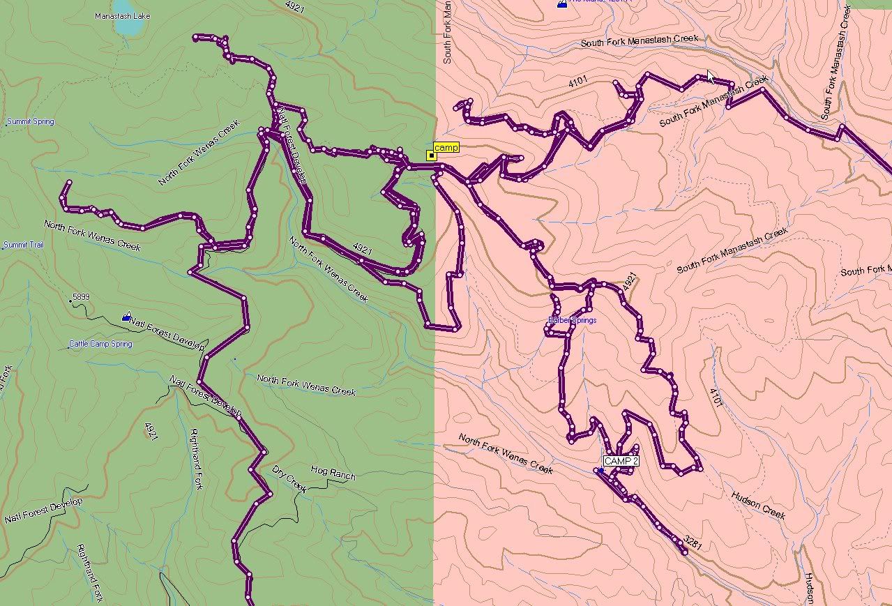
Here is a very SMALL example of what you can do with the MapSource program.
Topo, it shows almost all FS roads, with I would say 95% accuracy.
Profile View.. Fun for hiking and wheeling

City software. Provides business info, address, phone number, and routing.

In addition the GPS will come with the MapSource software and a base map that has major hwys on it, as well as cities. No routing. but the software itself allows for desktop managment of routes, waypoints, poop trails (tracks).
I also reccoment buying online, I saved 75 on my GPS, thats a huge percentage when MSRP is like 350 and I pay 275.
If you do any hiking/biking I suggest the eTrex series, specifically the Vista C or Vista Cx. Personally I dont see the need for the Cx, the only difference in the Cx has more memory, but I have never filled mine with maps, even on long road trips. But if you dont have a laptop I reccoment the Cx. I usually load a days worth of maps the night before, as I have a laptop.
If you are only looking for a hard mount in your rig, which you might use on a hike occasionally then I reccommend something like the GPSMap 76CS, it can take an external antenna which would be nice, though my Vista C gets great reception. THe 76 CS and the Vista C have almost identical features, but the 76CS has a slighty larger screen and bigger buttons.
If you dont want to spend more than 500 I reccommend the Vista C, got mine for 277, MapSourse Topo about 100, and a 12v plug and suction mount, about 50 for both. The 76CS is about 100-150 more.
Here is a very SMALL example of what you can do with the MapSource program.
Topo, it shows almost all FS roads, with I would say 95% accuracy.
Profile View.. Fun for hiking and wheeling
City software. Provides business info, address, phone number, and routing.
In addition the GPS will come with the MapSource software and a base map that has major hwys on it, as well as cities. No routing. but the software itself allows for desktop managment of routes, waypoints, poop trails (tracks).
I also reccoment buying online, I saved 75 on my GPS, thats a huge percentage when MSRP is like 350 and I pay 275.
Oct 2, 2006 | 07:17 PM
#6
Contributing Member
Joined: Dec 2003
Posts: 2,893
Likes: 2
From: Fort Worth, TX
Personally, I like the looks of the Magellan eXplorist XL. When it comes to GPS units, no matter what the brand, the bigger the display the better as long as it still has ok battery life.
I might also consider the eXplorist 600 as well, just because I have the Meridian Platinum right now, and a built-in compass is a great thing to have when trying to determine direction to a waypoint. Also, the 600 uses Li-Ion rechargable battery, the XL uses 4 AA's (ouch).
Also, I have the Magellan MapSend Topo software for my GPS, it is an excellent resource, showing you forest roads, mines, points of interest, etc. Plus it has good road maps of the entire U.S. You will want to buy an SD card for the unit though, to hold lots of maps.
Last edited by mastacox; Oct 2, 2006 at 07:24 PM.
Oct 2, 2006 | 07:47 PM
#7
Contributing Member
Joined: Mar 2003
Posts: 11,334
Likes: 0
From: COTKU,Ontario,Canada
If this was for aviation [handheld] I'd go with Lowrance nice product/price good size, not bulky like garmin, but you want to use it on the ground don't you... 'cept when you catch air going over a dune right?... haha... I think Lawrence makes road database one that will allow you to install a marine database also... make sure what ever you get you get one with the most memory you can afford... some of the ones on the market now will allow you to expand the memory with SD cards... you could download a huge database and by segmenting it carry it all with you on a few cards...
The Lawrence 600[c?] is the colour screen aviation model and it retails for @600.00 CAD so the road model should about 450.00 CAD...[as soon as you put aviation in the name the price usually doubles...
The Lawrence 600[c?] is the colour screen aviation model and it retails for @600.00 CAD so the road model should about 450.00 CAD...[as soon as you put aviation in the name the price usually doubles...
Trending Topics
Oct 3, 2006 | 06:14 AM
#9
Contributing Member
Joined: Mar 2003
Posts: 11,334
Likes: 0
From: COTKU,Ontario,Canada
Actually the handheld ones intended for Aviation use are perfectly acceptable and legal you just can't use them to fly a GPS IFR approach but for enroute stuff as long as the database is current no problemo...
Oct 3, 2006 | 06:25 AM
#10
Registered User
Joined: Dec 2002
Posts: 4,655
Likes: 0
From: Idaho
Oct 3, 2006 | 07:02 AM
#11
Contributing Member
Joined: Jul 2006
Posts: 218
Likes: 3
From: Walnut creek CA.
Some of the old Acft I worked on had INS and I always seen pilots with their handheld Gizmo. They didn't like INS, and said the hand held was more accurate than the INS. Also every time the feds came around they hid it. The fed would see suction cup marks (where they placed there antenna) on the windscreen and ask them 20?'s about it. The planes I work on now have GPS coupled into the FMC making it very easy to navigate.
Oct 3, 2006 | 10:14 AM
#13
Registered User
Joined: Aug 2006
Posts: 1,523
Likes: 0
From: Maryland
i have a magellan meridian, rubberized armor,waterproof,floats, takes SD cards, the software is easy to use too. i had a garmin in the army, and liked it ok, but that was when the small hand held units were first coming into action. i like the meridian better, but i'm sure that the garmin is more user friendly. i'm clumsy, so the meridian fits me better.
meridian gold-$140 shipped GPSSTORE.com
mapsend software-$60
1 gig SD card-$40
meridian gold-$140 shipped GPSSTORE.com
mapsend software-$60
1 gig SD card-$40
Oct 14, 2006 | 12:27 AM
#14

Registered User
Joined: Feb 2006
Posts: 130
Likes: 0
From: Washington
I also have the Garmin Vista C. I have really learned to like the thing, simple to use, can do loads of stuff. When I first bought it my wife didn't care for it too much. I think more because she didn't understand it and what it can do. Now she reminds me to grab it.
I have filled two tracks up to 99% full, both are just over 1,000 miles long.
One thing to be aware of, GPS's don't get a real strong signal, you will loose signal in deep woods or if you walk into a house with it on. At least mine does.
I have filled two tracks up to 99% full, both are just over 1,000 miles long.
One thing to be aware of, GPS's don't get a real strong signal, you will loose signal in deep woods or if you walk into a house with it on. At least mine does.
Oct 17, 2006 | 01:05 PM
#15
Registered User
Joined: Jun 2006
Posts: 76
Likes: 0
From: ashburn va
i was lookin at some units over the past weekend and garmin has a new chipset in them, well some models. from what i understood and was shown, the same units, one with the new chip and one without, the new one picked up 6-8 more sats within about 15 seconds while the other timed out. i think they averaged around 500 per unit...just an FYI
Oct 17, 2006 | 02:40 PM
#16

Registered User
Joined: Dec 2004
Posts: 232
Likes: 0
From: Milford, CT
i have a garmin street pilot c 320. its awesome and is perfect for road driving. i'm pretty sure you can't add a point of interest, but you might be able to. It came with a 128mb SD card, but i want to upgrade. It fit all of new england, new york, new jersey and Deleware on the card. PA was too big to fit so i put Deleware on instead. you can plug it back into your computer and swich the states you store if you're traveling further. I went with Garmin because i don't like the view on the Magellans.
Dont buy from Fotoconnection.com. they are liers, dirtbags, and their management doesnt' care if that their employees lie and try to get more money out of you for nothing. If you google the unit you decide to get, you will get tons of sites and can shop around for the best price.
Dont buy from Fotoconnection.com. they are liers, dirtbags, and their management doesnt' care if that their employees lie and try to get more money out of you for nothing. If you google the unit you decide to get, you will get tons of sites and can shop around for the best price.
Nov 16, 2006 | 01:50 PM
#17
Registered User
Joined: Aug 2005
Posts: 35
Likes: 0
From: Tucson, Arizona
i was lookin at some units over the past weekend and garmin has a new chipset in them, well some models. from what i understood and was shown, the same units, one with the new chip and one without, the new one picked up 6-8 more sats within about 15 seconds while the other timed out. i think they averaged around 500 per unit...just an FYI


