
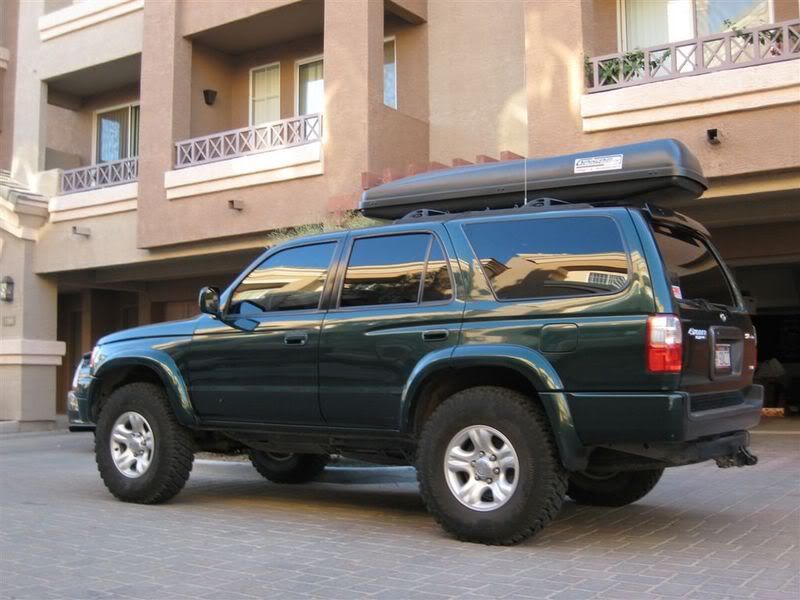
Where to find Southern UTAH Info?
 May 4, 2007 | 11:08 PM
#21
Contributing Member
Joined: Jun 2005
Posts: 3,415
Likes: 10
From: Phx, AZ
 ...
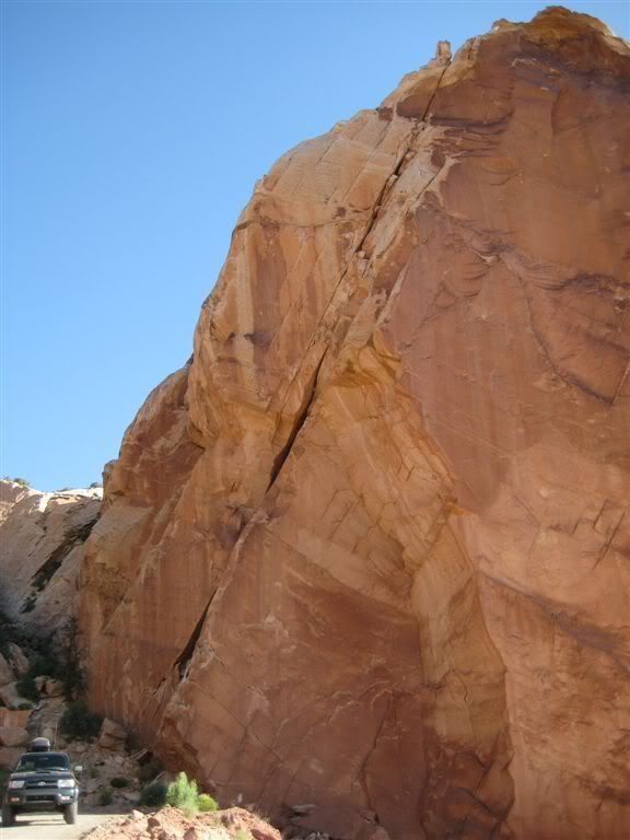
... I have not actually driven Collet Canyon. So don't let me get you in over your head. However, I have heard it is reasonable, but probably requires 4WD. The road actually heads up the canyon and then climbs to the mesa just W of Hole in the Rock Road. You can see the route on Google Earth. Also will show up on a good atlas. We will definitely be trying Collet next time we are in the area.

Always keep an eye on the weather upstream from you. We were going to try Collet Canyon this last trip but heavy clouds to the W made us think twice. Wouldn't want to be there when the rains get heavy. Same applies for exploring the slot canyons on foot... but I am sure you know all this already.
Also, even though Smokey Mtn Byway is not an advanced 4WD road, there are some sections that will require thought. High clearance would be strongly suggested. Stock 4Runner will be fine. Lot's of washes to cross as well. They were mostly dry for us, but I could see them getting very deep with weather. You'd be stuck with no way forward and possibly no way back if the level rises.
Be prepared to last for a few days on this road should something happen. There is limited (as in basically no) cell service and a very, very low volume of traffic. You are on your own and should be as self sufficient as possible. Unless you can communicate with cows... there seems to be a few of those out there. "Run for help Bessie... run like the wind..."

Try to work out a way you can let some one know your route so if you don't show up, they have a place to start looking. Escalante and Utah are way to big for a search party to just guess.
Not every truck problem can be fixed with a mere Peach can after all.
 May 5, 2007 | 10:44 AM
#22

Registered User
Joined: Mar 2007
Posts: 21
Likes: 0
SOAZtim- plug these coordinates into your GPS software, so you can figure out where to go:
Dry Fork Parking Lot: N37 28.589 W111 13.210
Peekaboo Gulch Start: N37 28.885 W111 13.000
Peekaboo Gulch End: N37 29.105 W111 13.005
Spooky Gulch Start (Top): N37 29.088 W111 12.565
Spooky Gulch End (Bottom): N37 28.890 W111 12.525
Dry Fork Parking Lot: N37 28.589 W111 13.210
Peekaboo Gulch Start: N37 28.885 W111 13.000
Peekaboo Gulch End: N37 29.105 W111 13.005
Spooky Gulch Start (Top): N37 29.088 W111 12.565
Spooky Gulch End (Bottom): N37 28.890 W111 12.525
Last edited by XPLORx4; May 5, 2007 at 10:48 AM.
May 7, 2007 | 08:56 AM
#23
Thread Starter
Contributing Member
Joined: Jun 2006
Posts: 806
Likes: 0
Perfect! I'm going to save myself a lot of time and head ache during the trip, by putting in turns I need to make, stops, hikes, camping spots etc in my gps. That way I can always go somewhere else, but I'll have tons of things marked too. Thank you!


Thread
Thread Starter
Forum
Replies
Last Post
the1998sr5
95.5-2004 Tacomas & 96-2002 4Runners
15
Jul 14, 2020 08:35 PM
WTB[PacSoWest]: Looking for Smittybilt front bumper
shisha1999
Items Wanted
12
Mar 16, 2016 12:25 PM
Jeffreynmandy
86-95 Trucks & 4Runners
21
Jul 18, 2015 08:26 AM
88yodabasket
86-95 Trucks & 4Runners
15
Jul 13, 2015 01:32 PM


