
Imperial and Cibola National Wildlife Refuge Areas
 Jan 3, 2009 | 03:23 PM
#1
Thread Starter
Registered User
Joined: Aug 2006
Posts: 1,691
Likes: 2
From: Colorado Springs, Co
Imperial and Cibola National Wildlife Refuge Areas
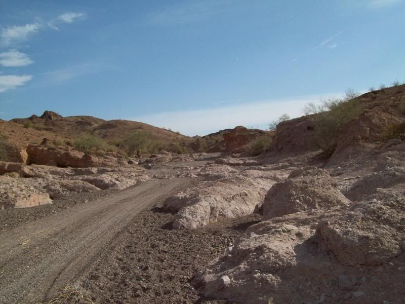
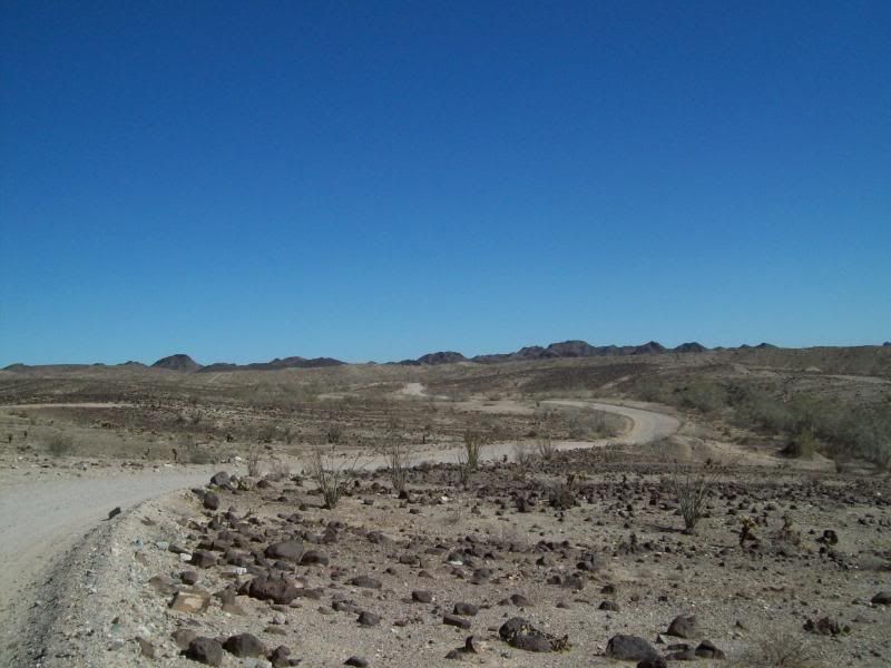
After a number of vehicle issues (still have a gas issue to fix) over the past few months, I was finally able to get out and pre-run a trail for a camping trip that I've been trying plan. Just NW of Yuma, Arizona is road named "Red Clound Mine Road" named after the old mine that is located in that area. The road traveses though the Imperial National Wildlife Refuge, Yuma Military Proving Ground, state land (I think) and finally ending in the Cibola National Wildlide Refuge in California.
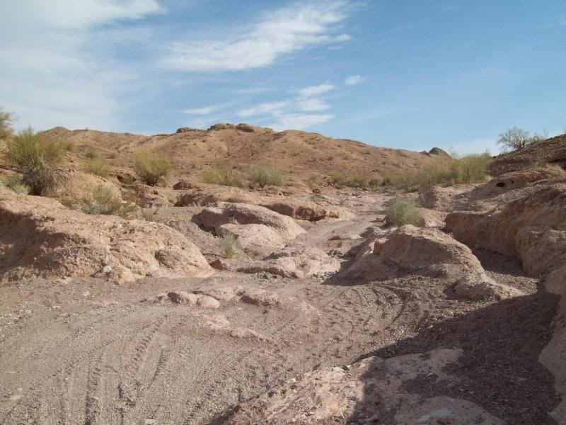
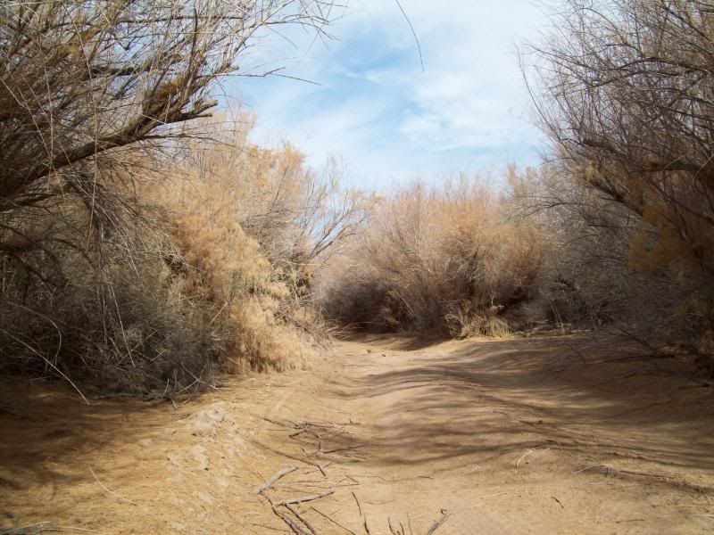
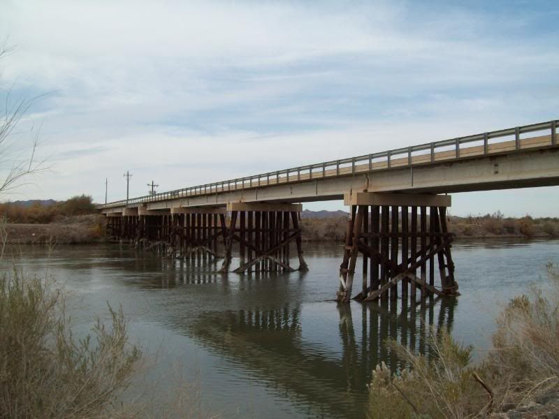
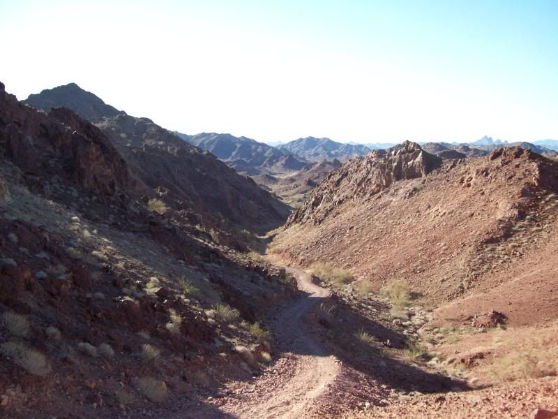
The trail mainly follow a number of washes, the main one being Clip Wash. The trail can mostly be run in 2wd, until the end where 4wd is required in a spot or two. More so after a rain. The dirt/gravel road portion of the trail is roughly 43 miles, with another 46 miles of paved road back to the interstate (not including milage to get there). Left my apartment about 7:45am and returned home around 2pm.
It was a nice, cool day to out and do some exploring. No one else was on the trail.
These are some of the photos:
Panoramic Photo's first (I still learning to stitch the photo's together better)
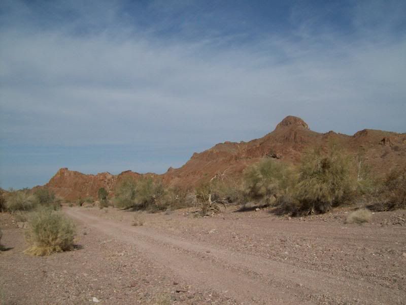
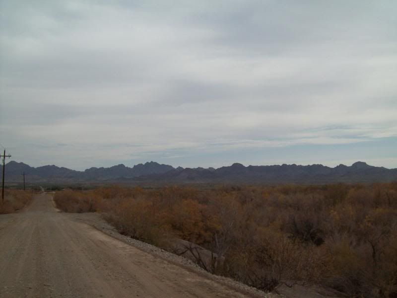
- Palo Verde Point
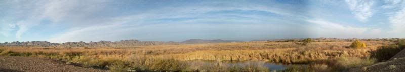
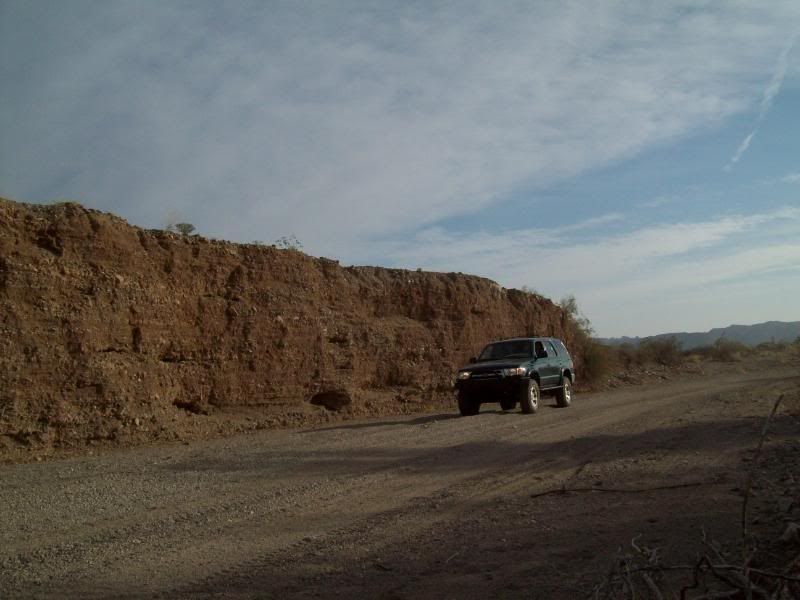
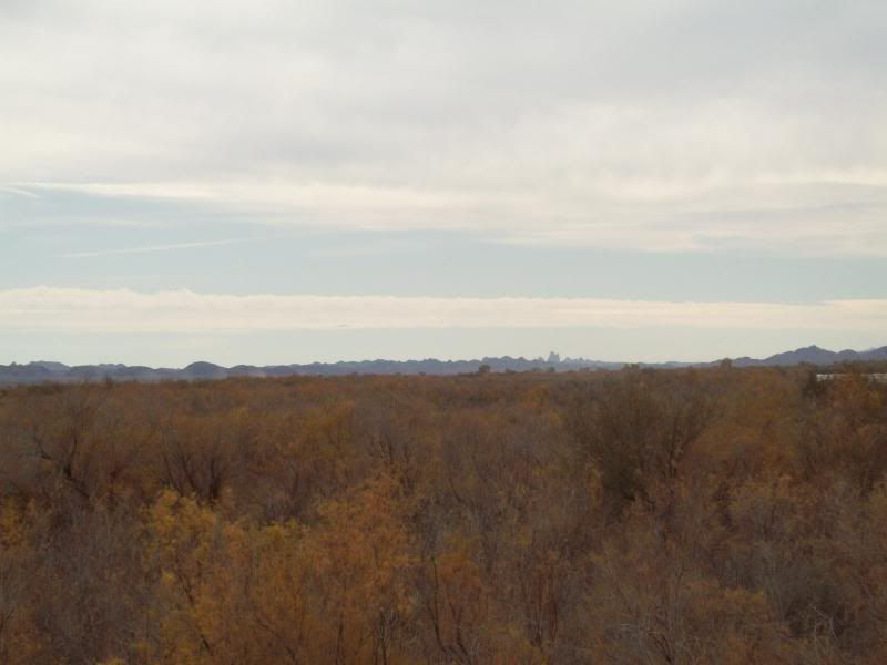
On the way to Red Cloud Mine
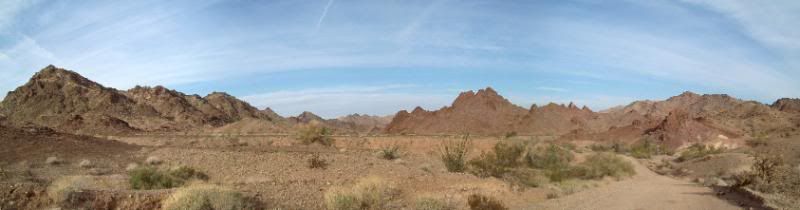
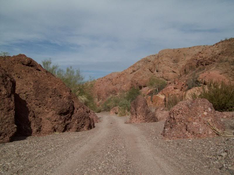
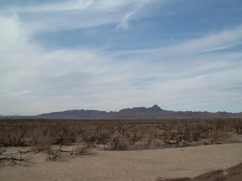
Red Cloud Mine Area
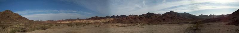
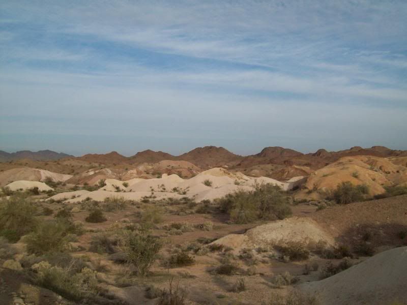
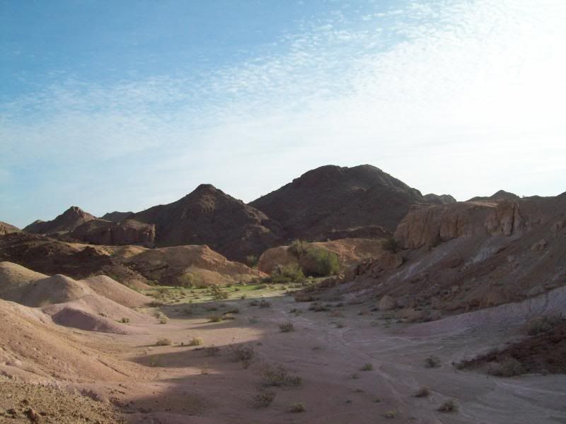
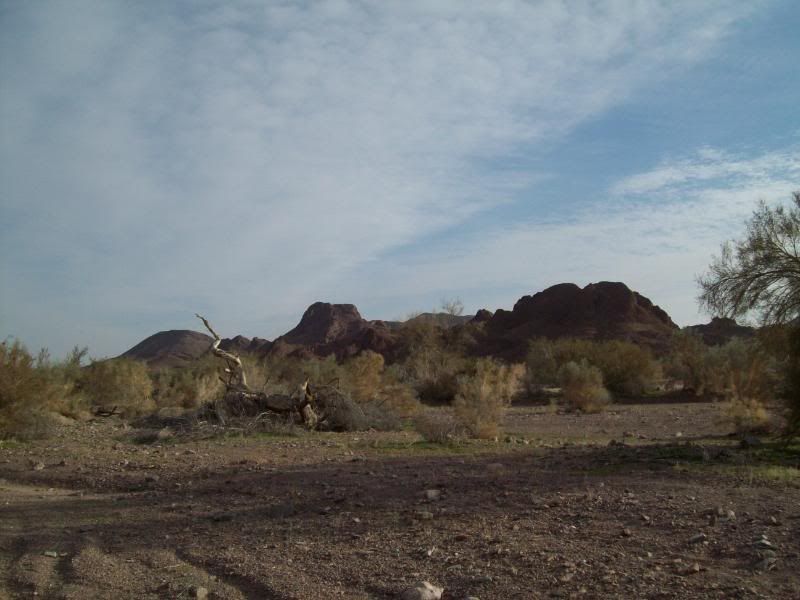
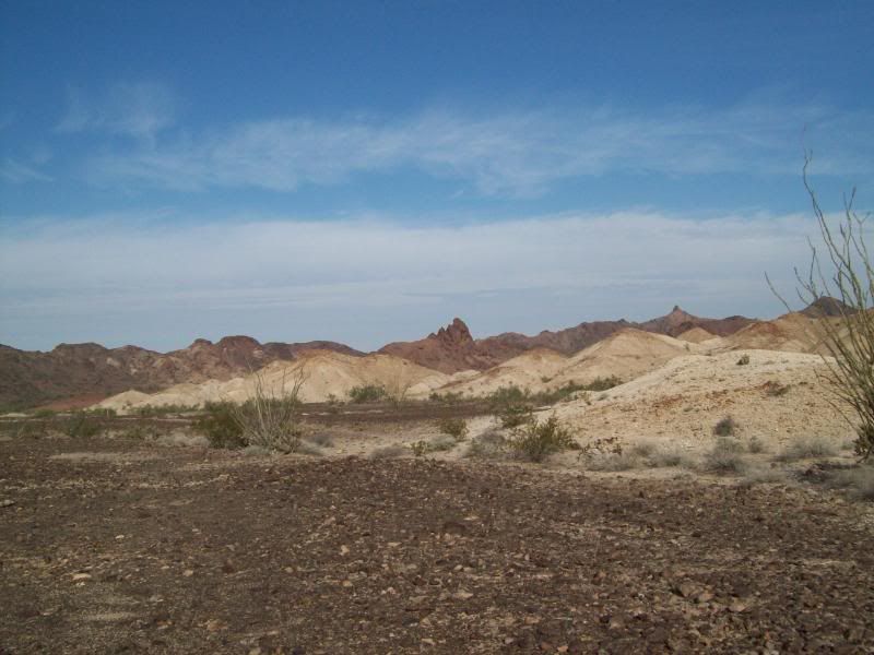
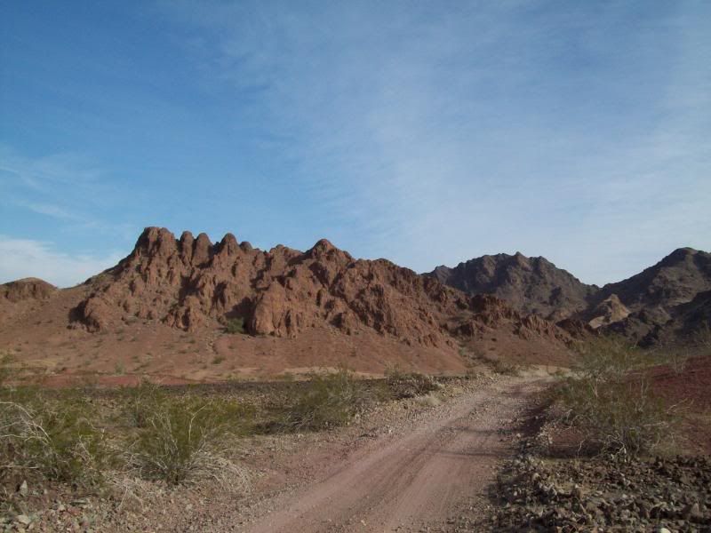
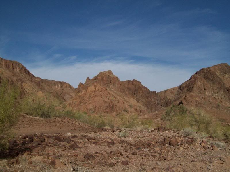
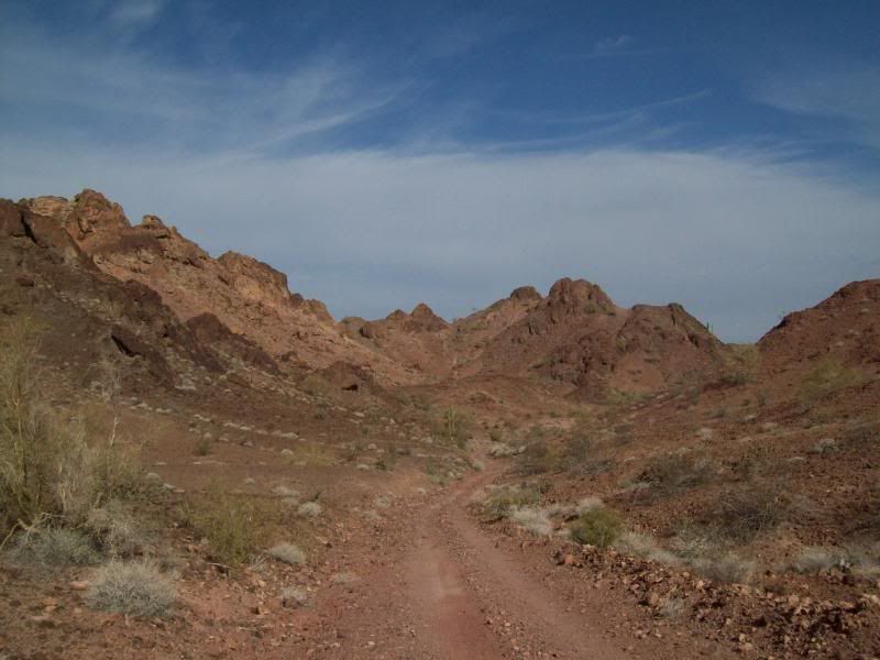
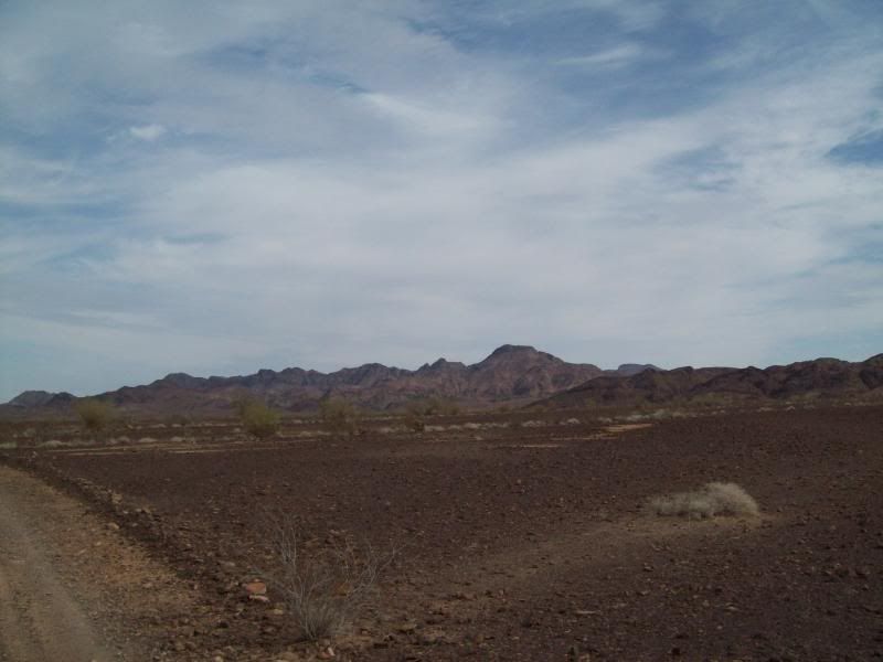
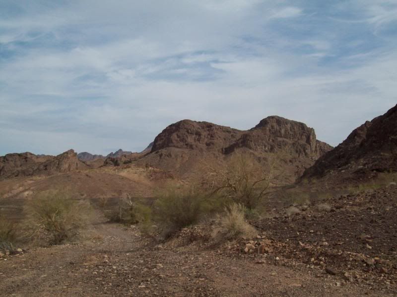
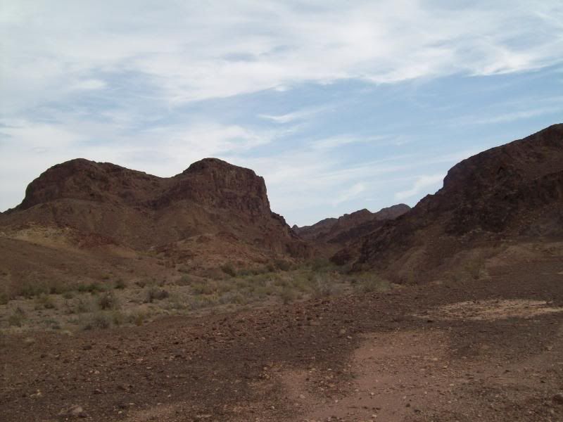
Trigo Mountain Area
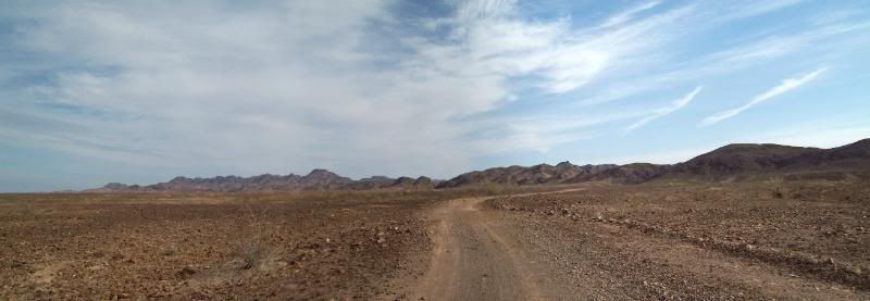
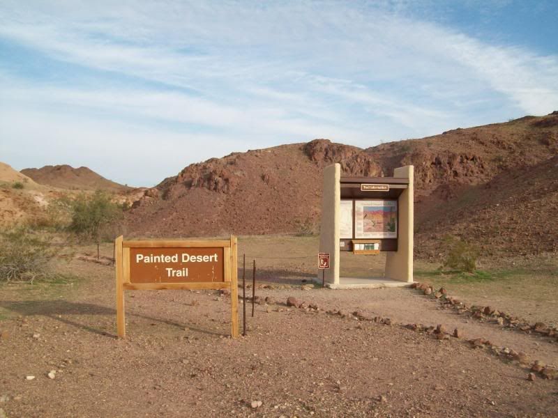
- Painted Desert Trail - The actual trail itself is roughly 1.3 miles and takes about an hour to complete. I'll be hiking this trail fully on another day.
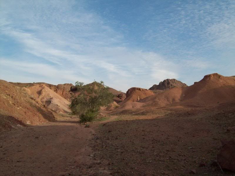
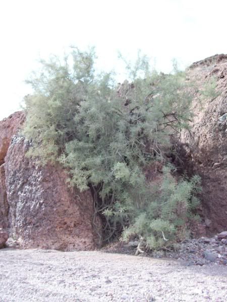
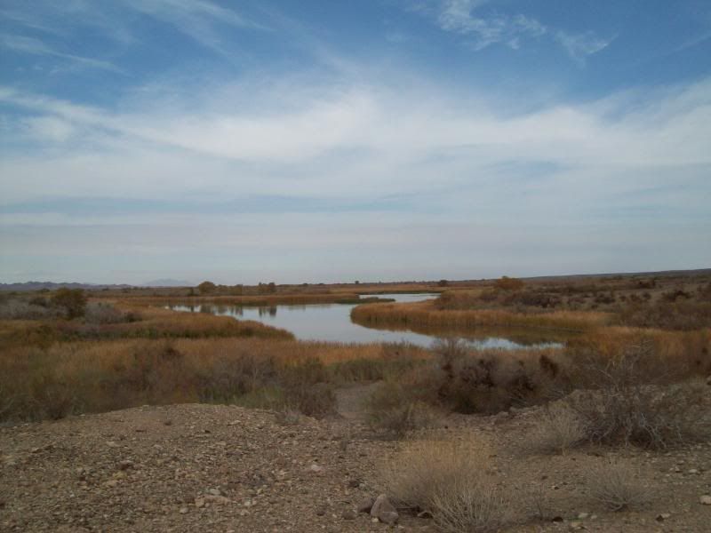
- Green Patch
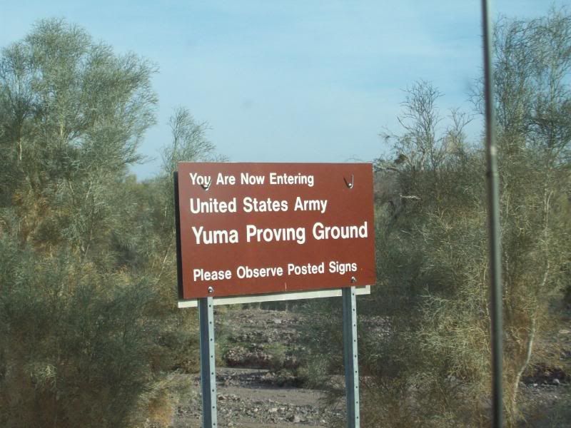
- YPG sign, either you cross get off the main road on either side your in trouble. This area ends aways from the mine.
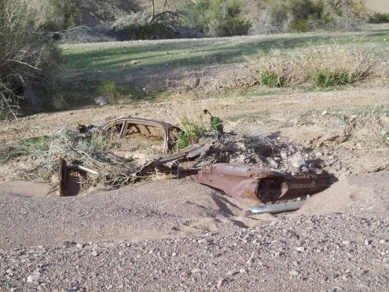
- I always wondered what happened to my car.
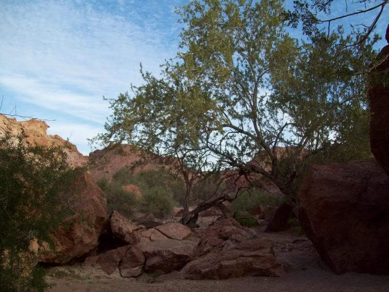
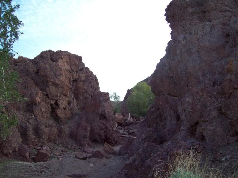
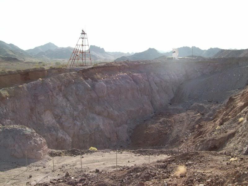
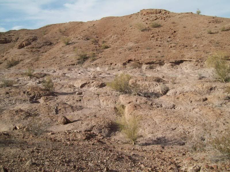
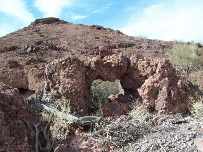
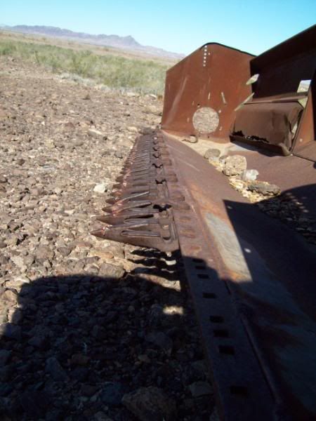
Right before the Red Cloud Mine are another area of mines, which I don't know the names to. The area kind of reminds me of the "Hills Have Eye's" movies. Thankfully, that wasn't the case.


- A long way down

- Red Cloud Mine Area
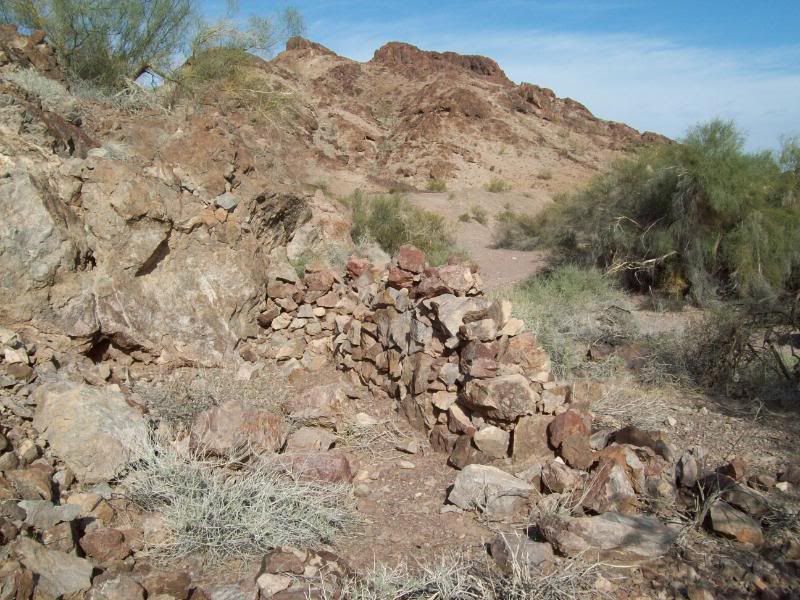
- Random rock wall along the way
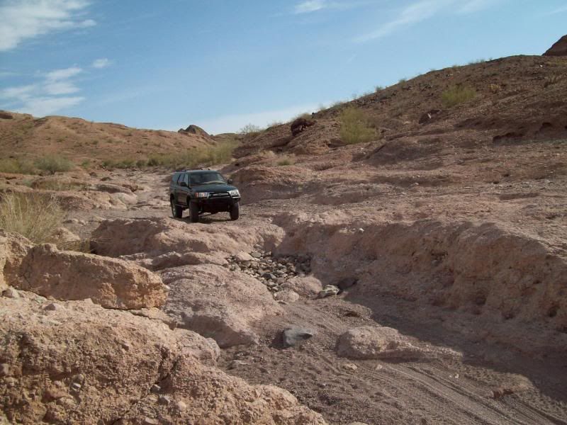
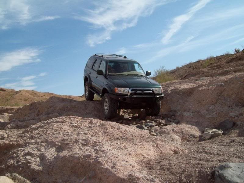
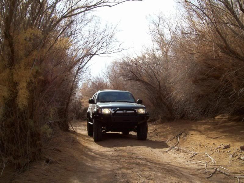
- The portion of the trail near the end is the hardest part of the whole trail. Last year on the Yuma4x4 run out there. We ran into a group of older people whole decided to turn around at this point. At the last little waterfall area the BLM had stacked rocks to allow them to get their trucks though. **Warning** shameless plugs of my vehicle included.
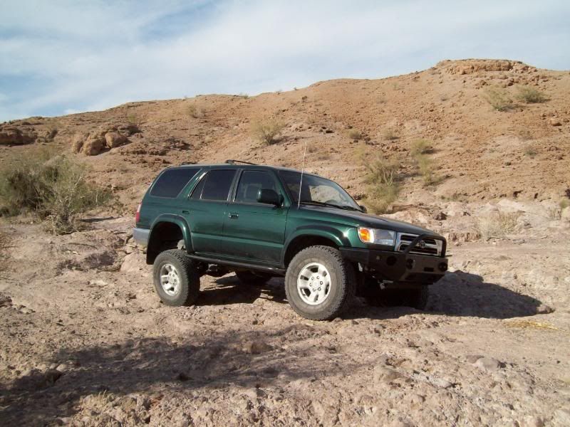
A little play area
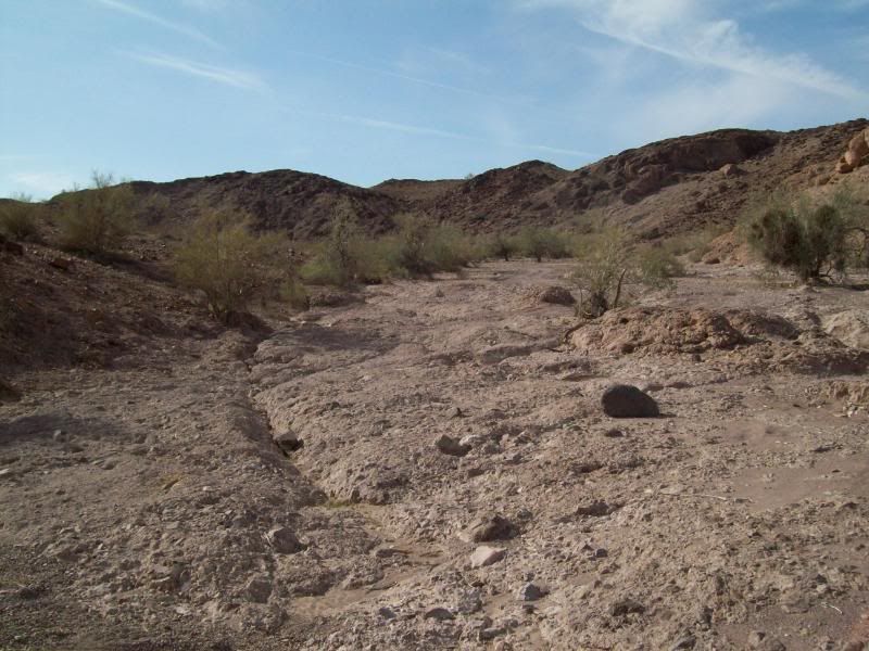
- The ending of the trail begins
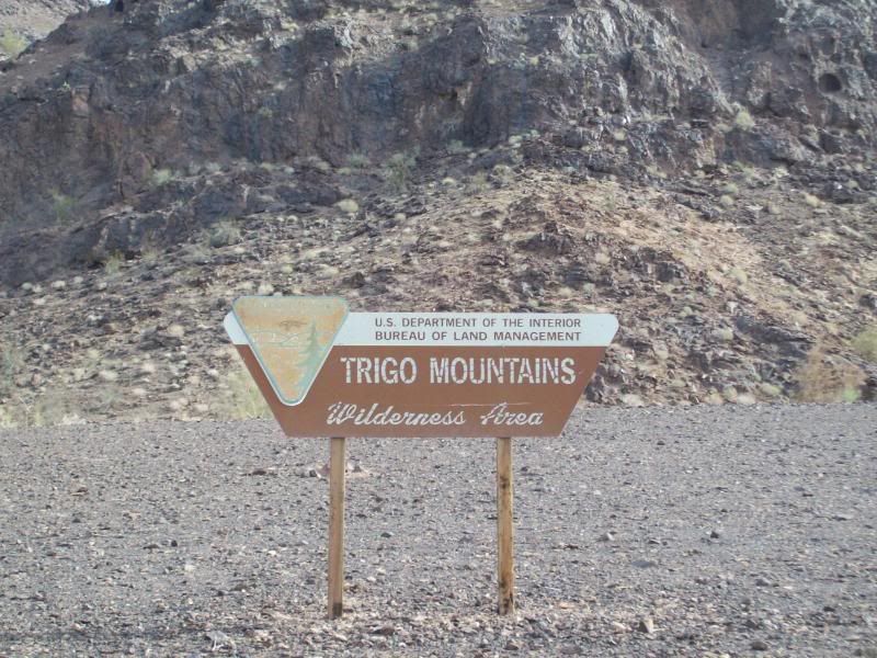
- Trigo Mountain Wildness Area (not sure of the rules of Wilderness Areas). There is possible primavtive camping before the the wilderness area.
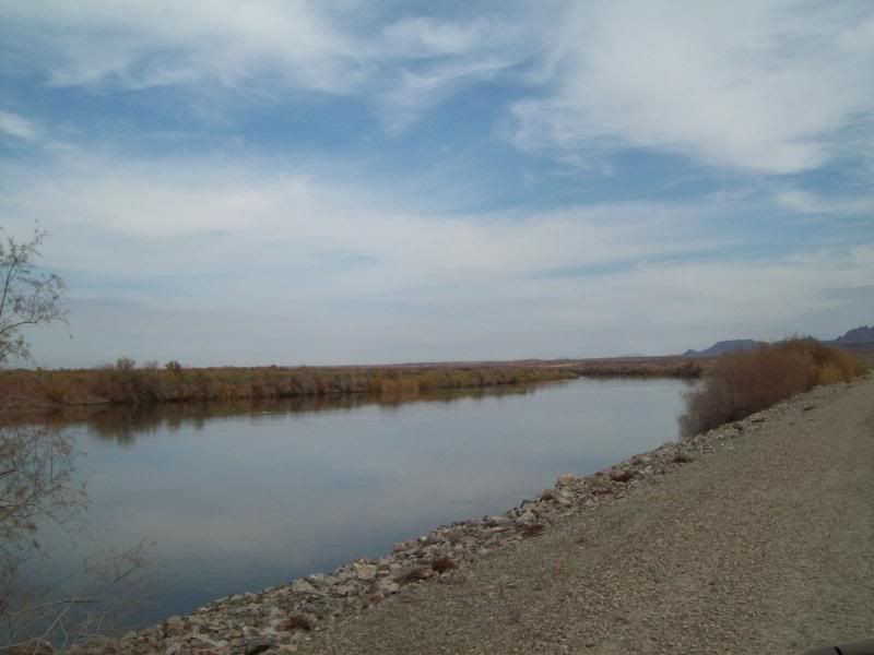
- Cibola Lake and Colorado River
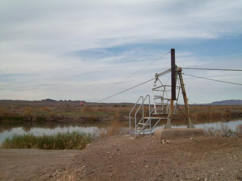
Anyone for a ride, to bad once you go out you have to come back the same way
Hoped you all enjoyed the photos (I'm kind of picture crazy). The rest of the photo's can be found here: http://s162.photobucket.com/albums/t...econ%201-3-09/
The trail mainly follow a number of washes, the main one being Clip Wash. The trail can mostly be run in 2wd, until the end where 4wd is required in a spot or two. More so after a rain. The dirt/gravel road portion of the trail is roughly 43 miles, with another 46 miles of paved road back to the interstate (not including milage to get there). Left my apartment about 7:45am and returned home around 2pm.
It was a nice, cool day to out and do some exploring. No one else was on the trail.
These are some of the photos:
Panoramic Photo's first (I still learning to stitch the photo's together better)
- Palo Verde Point
On the way to Red Cloud Mine
Red Cloud Mine Area
Trigo Mountain Area
- Painted Desert Trail - The actual trail itself is roughly 1.3 miles and takes about an hour to complete. I'll be hiking this trail fully on another day.
- Green Patch
- YPG sign, either you cross get off the main road on either side your in trouble. This area ends aways from the mine.
- I always wondered what happened to my car.
Right before the Red Cloud Mine are another area of mines, which I don't know the names to. The area kind of reminds me of the "Hills Have Eye's" movies. Thankfully, that wasn't the case.
- A long way down
- Red Cloud Mine Area
- Random rock wall along the way
- The portion of the trail near the end is the hardest part of the whole trail. Last year on the Yuma4x4 run out there. We ran into a group of older people whole decided to turn around at this point. At the last little waterfall area the BLM had stacked rocks to allow them to get their trucks though. **Warning** shameless plugs of my vehicle included.
A little play area
- The ending of the trail begins
- Trigo Mountain Wildness Area (not sure of the rules of Wilderness Areas). There is possible primavtive camping before the the wilderness area.
- Cibola Lake and Colorado River
Anyone for a ride, to bad once you go out you have to come back the same way
Hoped you all enjoyed the photos (I'm kind of picture crazy). The rest of the photo's can be found here: http://s162.photobucket.com/albums/t...econ%201-3-09/
 .
.

Trending Topics
Jan 20, 2009 | 06:10 PM
#9
Thread Starter
Registered User
Joined: Aug 2006
Posts: 1,691
Likes: 2
From: Colorado Springs, Co
Well, to get though there you have to drive though a portion of Yuma Militay Proving Ground. I'd be more worried about driving and unexplored mine or bomb.
The area of the mines/caves remind me of the Hills Have Eyes, luckly for me there were no mutants.
Jan 20, 2009 | 07:37 PM
#10
Registered User
Joined: Aug 2008
Posts: 90
Likes: 0
From: Tucson, AZ
yeah pretty much anywhere in southern az will give you that Hills Have Eyes vibe..
it gets kinda annoying haha like when your camping and someone just has to bring it up..
anyway those are some pretty sweet pics
it gets kinda annoying haha like when your camping and someone just has to bring it up..
anyway those are some pretty sweet pics
Feb 1, 2009 | 06:59 AM
#11
Thread Starter
Registered User
Joined: Aug 2006
Posts: 1,691
Likes: 2
From: Colorado Springs, Co
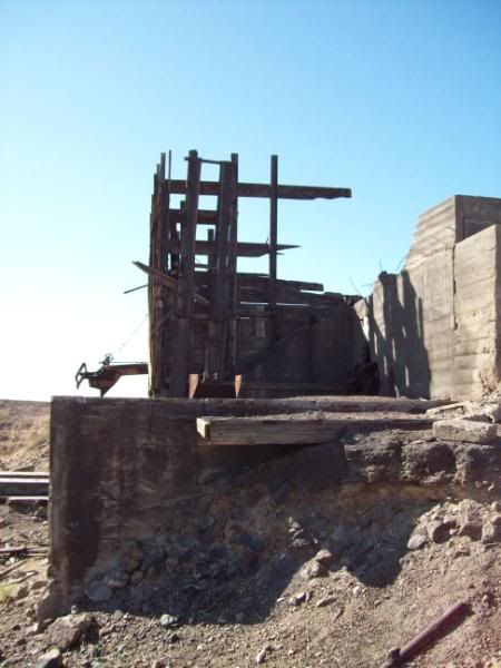
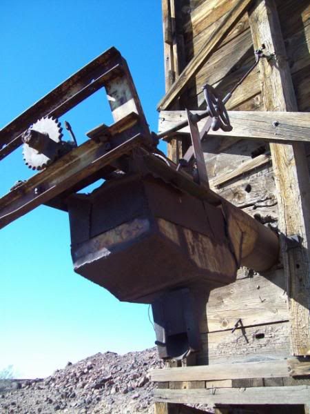
Here's a few more from yesterday. Ended up exploring a few other trails in that area and visted an old mining location:
Looking down at a trail, I've never traveled

Looking back up it

Old mining equipment/building
Headed to Indain Pass Road afterwords and ran tht since I haven't ran it before. An interesting area that you wouldn't want to be caught in a ran storm in.


Wouldn't want to be around this when it final comes down, it's already undercut by a good 5' but the gravel/sand mixture holds up pretty well.


Looking down at a trail, I've never traveled
Looking back up it
Old mining equipment/building
Headed to Indain Pass Road afterwords and ran tht since I haven't ran it before. An interesting area that you wouldn't want to be caught in a ran storm in.
Wouldn't want to be around this when it final comes down, it's already undercut by a good 5' but the gravel/sand mixture holds up pretty well.
Last edited by wormhole; Feb 1, 2009 at 07:00 AM.

Thread
Thread Starter
Forum
Replies
Last Post
zytra
86-95 Trucks & 4Runners
32
Jan 24, 2019 03:16 PM
djpg2000
Looking For A Mechanic/Fabricator/Shop
0
Sep 7, 2015 10:36 AM


